Springbrook State Park Trails
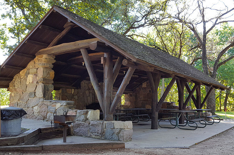
Established in 1926, Springbrook State Park is one of Iowa’s first state parks. You can see the history on almost every trail in the form of Civilian Conservation Corps ( C.C.C.) structures built in the 1930’s. The 5.59 miles of trails are well maintained and manageable for most people.
Printable Trail Map
Campground Trail
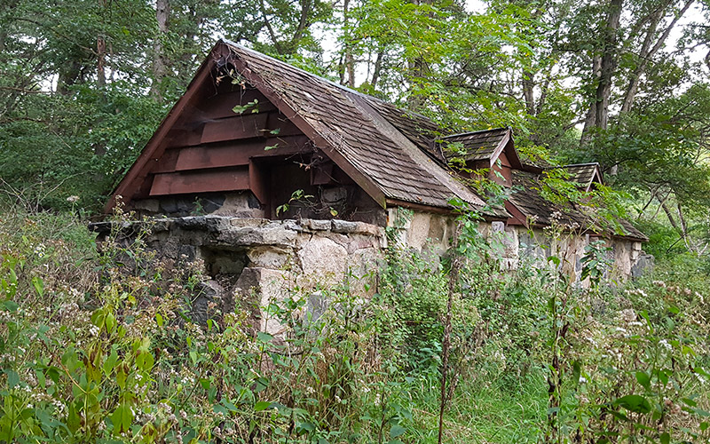
Starting at the east end of the campground the .4 mile Campground Trail climbs uphill 170’ in elevation to a picnic area at the top of the hill. Be sure to check out the derelict C.C.C. restroom structure along the way. It’s an excellent area for photos and to examine the building’s construction.
C.C.C. Camp Trail
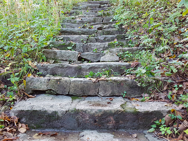
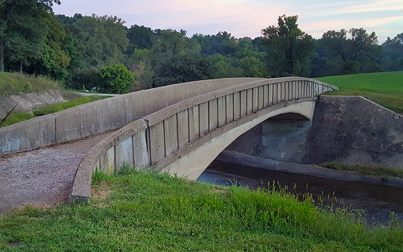
At the bridge in the campground you will find the trailhead for this .35 mile trail. After the bridge is a 40’ elevation gain that is made easier with the aid of stone stairs. At the top you’ll see the C.C.C. camp that was home base for the workers who built the park infrastructure. As you continue east on a wide crushed stone path you’ll come upon a water tower and ultimately intersect with Overlook Trail.
C.E.C. Trail
Trailheads for this .9 mile loop trail are best accessed from the Conservation Education Center compound. The route is a nice walk in the woods with several benches to sit and reflect. The north end of the trail goes down and up a ravine that makes for a heart pounding trek.
Group Camp Trail
This is a short .05 mile trail that connects the youth group camp site to the Lake Trail.
Lake Trail
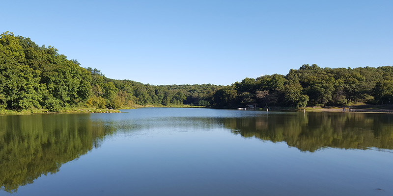
It’s hard to find a bad lake trail and this 1.4 mile path doesn’t disappoint. The trail has everything a good lake loop should have: decent trail mileage; beautiful water views; fishing access and a bridge. The beach shelter is a must see and a good place to take a break after your hike.
Overlook Trail
This .69 mile loop is also best accessed from the Conservation Education Center. As you traverse under a canopy of trees you will come upon a deer enclosure and a picturesque small pond. The scenic overlook offers views of the Springbrook Creek valley and is especially stunning in the fall.
River Trail
The .1 mile path connects the parking area off 160th Street to the Middle Racoon River.
Shelter Trail
This .1 mile uphill trail connects Lake Trail to the C.C.C. shelter area.
Shooting Range Trail
The .3 mile lollipop trail allows access to the Conservation Education Center shooting range.
Upper Trail
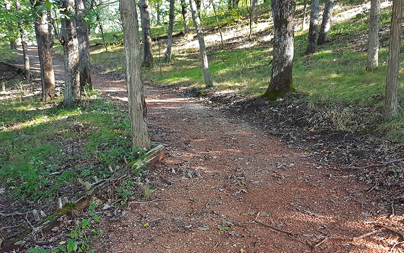
It seems that many parks have a quiet route away from the crowds and this 1.3 mile lollipop trail seems to be one of them. It’s a peaceful walk in the woods and would be the perfect area for birders.
My Favorite Hikes
The hike that sticks in my mind the most is a combination of C.C.C. Trail, Overlook Trail and C.E.C. Trail. These three trails have a variety of terrain and several points of interest along the way. A close second favorite is the Lake Loop for the reasons mentioned in the description. Third is the Campground Trail and Upper Trail combo. The abandoned stone restroom on Campground Trail was such a cool place and then the relaxing walk on Upper Trail hike was a pleasant surprise.
Related Parks You May Like
- Brushy Creek State Recreation Area
- Pine Lake State Park
- Rock Creek State Park
- Viking Lake State Park

Leave A Comment